
Transform Your AutoCAD Drawings
Into Fast-Loading Web Maps
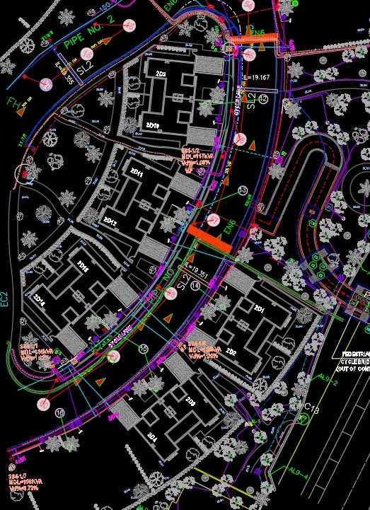
Access your DWG files anywhere - from mobile phones to GNSS controllers. No expensive software needed.
The Challenge with AutoCAD Files
Expensive Software
Viewing DWG files requires AutoCAD or similar software costing thousands of dollars
Heavy Processing
Detailed drawings crash or freeze on mobile devices and tablets
Inaccurate Rendering
Third-party viewers interpret DWG files incorrectly, showing distorted drawings
Outdated Files
DWG files become outdated quickly - surveyors work with old versions while WMS layers update automatically from the cloud
Our Revolutionary Solution
Convert DWG to WMS in Minutes
We transform your AutoCAD drawings into Web Map Service (WMS) layers - the same technology that powers Google Maps. Your CAD drawings become accessible on any device, anywhere.
Pre-processed raster images look exactly like they do in AutoCAD
Image pyramid technology loads only what's needed, like Google Maps
Works on phones, tablets, GNSS controllers, and any WMS client
Automatically align drawings to real-world coordinates with rotation and scale
How It Works
Upload Your DWG File
Simply drag and drop your AutoCAD file to our secure server
Automatic Processing
We convert your file into optimized WMS tiles with image pyramids
Position & Align
Adjust rotation, scale, and coordinates to match real-world location
Access Anywhere
Use your WMS layer in QGIS, ArcGIS, OpenLayers, or any WMS client

Perfect For
View CAD floor plans on your controller in the field with centimeter accuracy positioning
Integrate AutoCAD drawings into your GIS workflow without conversion headaches
Share satellite and drone imagery efficiently, even monetize your geodetic images
Access building plans on-site using tablets or smartphones without heavy software
Why Choose Our WMS Hosting
Efficient Indexing
Geographic indexing ensures super-fast tile serving
Flexible Pricing
Pay only for what you use - free plan available
Standard Protocol
Works with QGIS, ArcGIS, Leica, Trimble, Topcon controllers
Mobile Ready
Use with free tools like OpenLayers and Leaflet on any device
Auto Updates
Update your layer once, all users see changes instantly
Secure & Reliable
Your data is safely stored with efficient bandwidth usage
Ready to Get Started?
Have questions about converting your DWG files to WMS? We're here to help.